
Unlocking Ground-Truth Accuracy in 3D Building Scanning
In today’s construction landscape, precision is mission-critical. As buildings rise and digital workflows drive onsite decisions, the reliability of 3D scan data can determine whether a project stays on schedule or veers into costly rework. Even the most advanced mobile scanning systems are not immune to small inaccuracies or imperfect alignment between multiple datasets – issues that can quietly compound until they become problems in the field.
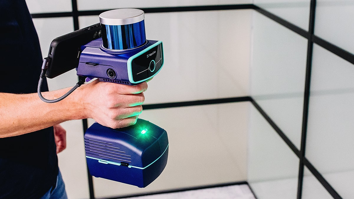
The latest advancement in the NavLive Portal, its new Control Points feature, represents a significant step forward. By combining AI-driven feature detection with LiDAR measurement, NavLive enables users to bring authoritative ground-truth information directly into their scanning workflows. The result is a more precise, more stable foundation for every scan captured.
Anchoring Scans to Real-World Coordinates
Control points serve as the physical and spatial anchors that tie 3D scans to real-world coordinates. These markers—such as survey nails, checkerboard targets, permanent building features, or specialised survey references—represent known, fixed positions in space.
With NavLive, control points can now be captured on-site during scanning and seamlessly synced to the project. This creates a verified coordinate framework that ensures every scan aligns accurately with physical site conditions. Once 3D data is grounded to true coordinates, it becomes far more than an as-built visualisation. It becomes a measurable, dependable digital record that supports layout verification, quality assurance, digital twin creation, and long-term documentation.
Correcting Drift and Ensuring Consistency Over Time
While mobile 3D laser scanning delivers speed and flexibility, it can introduce drift – the gradual accumulation of small errors as scans progress. Left uncorrected, drift can distort spatial accuracy, misalign survey sections, and compromise overall data quality.
Control Points counter this challenge by acting as stable, repeatable reference markers. Each time a control point is captured across multiple scans, NavLive uses it to maintain alignment and correct drift. This makes it possible to confidently merge data from different sessions, operators, or time periods.
Whether scanning a building in phases, documenting site changes, or comparing as-built conditions to design intent, consistent control point capture ensures that every dataset fits together seamlessly.
Flexible Alignment Tools for Diverse Project Needs
Construction environments vary widely, and so do their accuracy requirements. NavLive supports this reality with two alignment options tailored for different workflows:
Simple Alignment: This mode moves the entire scan to best fit the captured control points. It is fast, effective, and ideal for smaller datasets or scenarios where control point accuracy is moderate.
Optimised Alignment: For the highest precision, Optimised Alignment adjusts the point cloud itself to achieve the best possible fit to the imported control points. This mode corrects drift, enhances consistency, and delivers a tighter, more trustworthy registration.
Confidence in Every Scan
Accurate reference systems are the foundation of dependable 3D scanning. With its new Control Points functionality, NavLive ensures that every scan is validated, consistent, and securely tied to real-world coordinates. The ability to inspect alignment quality, correct drift, and merge multiple datasets allows construction professionals, engineers, and surveyors to reduce errors, minimise rework, and make informed decisions with confidence.
This innovation is not merely about improving the precision of point clouds. It is about giving spatial data meaning – contextual, measurable accuracy that transforms raw scans into actionable insights reflecting the true state of the built environment.
For more information: www.navlive.ai